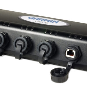
MSC 10 Marine Satellite Compass
MULTI-BAND GNSS AND MULTI-CONSTELLATION
The multi-band GNSS (L1 and L5 GPS) and multi-constellation (GPS, Galileo1, GLONASS and BeiDou1) receiver delivers precise positioning2.
BOAT HEAVE AND MORE
Get reliable, accurate boat heave, pitch and roll information — even in rough waters.
BUILT-IN ATTITUDE HEADING REFERENCE SYSTEM (AHRS)
The built-in AHRS delivers better GPS heading information at high speeds.
ACCURATE HEADING DATA
Multiple receivers deliver heading accuracy within 2 degrees. Because it uses satellite signals, you don’t have to worry about magnetic interference.
PRIMARY SENSOR ACROSS MULTIPLE SYSTEMS
You can use MSC10 as the primary sensor for autopilots and other onboard systems that need accurate heading information.
NMEA 2000® NETWORK COMPATIBLE
Get heading, pitch, heel and heave information delivered straight to your compatible Garmin chartplotter via the NMEA 2000 network.
QME are Proud to be an Authorised Garmin Marine Technical dealer and Installation centre.
|