Furuno FishHunter
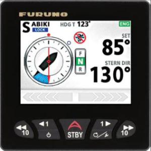
FishHunter™ Drive delivers advanced features for anglers running Furuno’s popular NavPilot 300 autopilot and any of Suzuki’s new Suzuki Precision Control (SPC) 4-stroke outboard motors,
FishHunter™ Drive delivers advanced features for anglers running Furuno’s popular NavPilot 300 autopilot and any of Suzuki’s new Suzuki Precision Control (SPC) 4-stroke outboard motors,
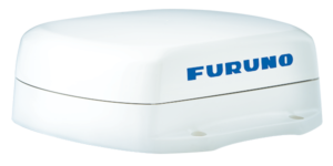
Utilizing four separate GNSS Antennas for the ultimate in responsiveness, the Furuno SCX-20 set a new standard for reliable and accurate heading for all
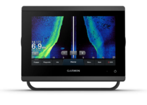
Have you ever thought about using your side scan transducer to navigate or anchor ? OK we have had a new Garmin GPS fitted since
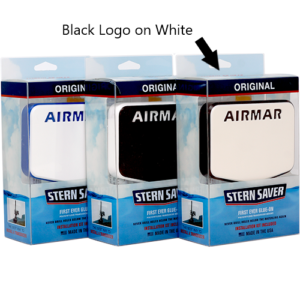
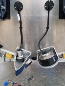
We see damage to Transoms due to water ingress just about every week, NEVER DRILL HOLES BELOW THE WATERLINE AGAIN Stern Saver
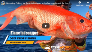
With Brisbane turning on the weather for this Deep Dropping adventure, we couldn’t have asked for a better day. Between Dick Tracey’s decked out electronics
Prior to becoming an Independent Dealer myself, I found the Marine Electronics Industry in SEQ full of smoke, mirrors and misinformation as i attempted to
Ever wondered if there was a reason why you could see Fish on your sounder screen and couldn’t buy a bite? I have seen just
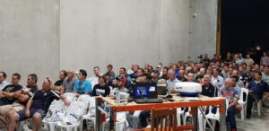
Qme open night with guest speakers. Raising money for Coastguard QF3 and Camp Quality.
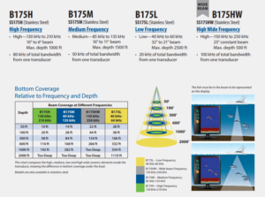
Transducer selection is without a doubt a question i get asked at least a dozen times a week. My response is normally, what depth do