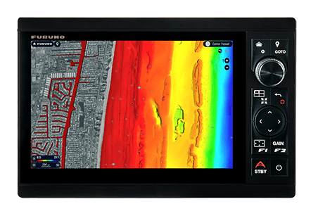
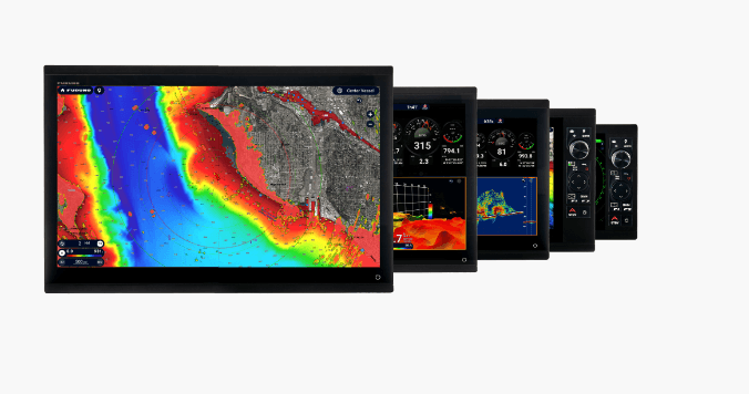
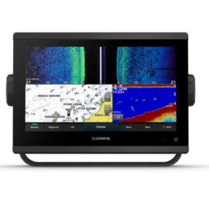
NavNet TZT10XL
Effortless Control
You asked for the simplest interface possible, and we were listening. We’ve delivered the most intuitive UI available, bar-none, and you’ll be navigating with all the power and simplicity you demand. With edge-swipe features and single-tap menu options, you’re never more than a tap or swipe away from what you want to see or do, because NavNet TZouchXL provides the easiest and most powerful MFD on the planet.
- Lightning-fast 10″ Hybrid Control displays
- New TZ MAPS for highly-detailed navigation and fishing charts
- Purchase and update charts directly from MFD with Internet connection
- Power-packed 100W & 200W Open Array NXT Solid-State Doppler and X-Class Magnetron Radars with 3.5, 4, or 6′ antenna options
- 24″ and 19″ Solid-State Doppler Radome Antenna options (DRS4DNXT and DRS2DNXT)
- Built-in Dual Channel 1kW TruEcho CHIRP™ & CW Fish Finder (TZT10X/13X/16X only)
- High-power 2/3/5kW* TruEcho CHIRP™ DFF3-UHD
- Built-in 235kHz or 455kHz CHIRP Side-Scan (TZT10X/13X/16X only)
- Powerful hexacore processor for rapid response
- Deepwater DFF3D Multibeam Sonar for up to 300m depth & 200m Side-Scan, with Personal Bathymetric Generator (PBG)
- Add a variety of optional remote controllers, including the MCU-006 and MCU-006H
- Video Converter Kits stream compatible Sonar video data directly to TZtouchXL MFDs
- Furuno’s exclusive Fish-It, Drift-It, & Follow-It features save time and fuel, and increase fish catch
* Built-in power is 3kW; Connect a 5kW or 10kW transducer when using the BT-5 Booster Box
BATHYVISION… Reveal The Secrets Of The Seabed Like Never Before
The seabed holds many secrets! However, thanks to the advanced functionality and highly detailed information provided by our allnew BathyVision, those secrets will be revealed! TZ MAPS offer the best bottom data available and BathyVision lets you display dynamic & intuitive high-resolution relief shading in color and/or with contour lines. Configure the density of contour lines to about 7.5 cm (3 in) & associated shading to focus precisely on high-potential fishing areas.
DYNAMIC FISHING MAPS
• Choose the density of contour lines with 1 tap
• 5 levels of contours down to within 7.5 cm (3 in)
• Add dynamic color shading based on custom settings
• Adjust terrain shading for totally customized
high-resolution depth contours
• Combined depth shading plus fishing charts
